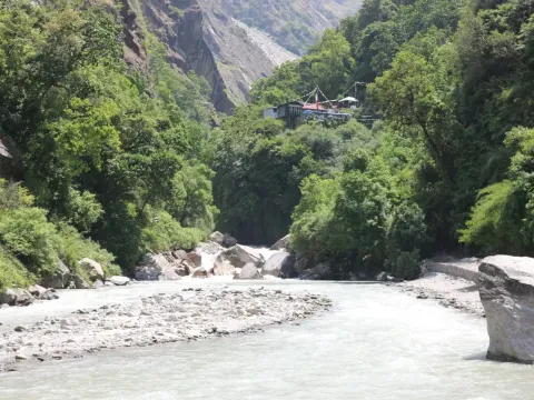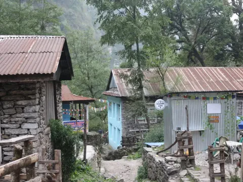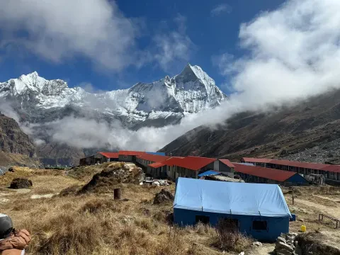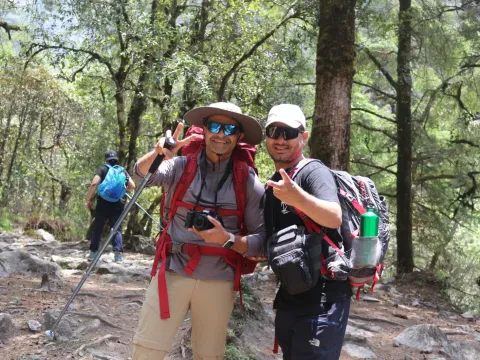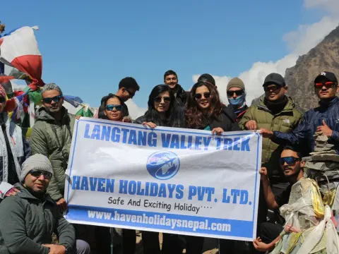
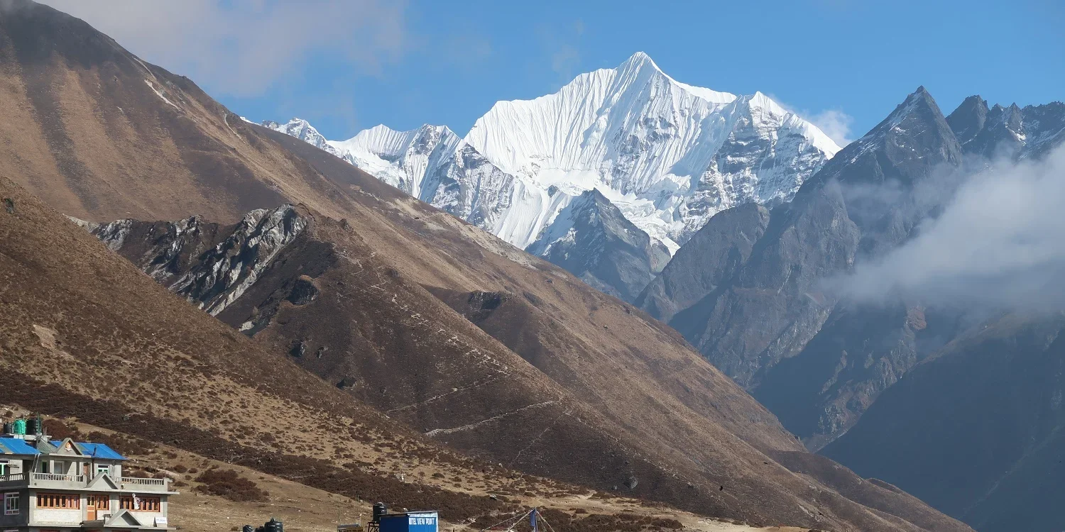
Langtang region, to the north of Kathmandu, is one of Nepal's most renowned trekking regions, known for its natural attractions, cultural landmarks, and diversified landscapes. Relatively , Langtang region is less-crowded than Annapurna and Everest regions. The region lies under Langtang National Park, the first-ever Himalayan national park of Nepal, covering 1,710 square kilometers of land. The hike offers a mix of dense forests, Sherpa and Tamang villages, Buddhist monasteries, and bird's-eye views of craggy peaks like Langtang Lirung (7,227 m), Ganesh Himal (7,422 m), and the towering Langtang Ri (6,370 m). The region offers treks with different levels of difficulty and duration, ranging from beginner-friendly to professional.
The Langtang National Park is popular for Red Panda.
What is the best time to trek Langtang Region?
The best times to trek Langtang are spring (March to May) and autumn (September to November). The seasons offer clear weather, comfortable temperatures, and beautiful views of the mountains and landscapes.
What are the main trekking trails in Langtang?
The most popular treks in the Langtang region are:
Langtang Valley Trek: 7-10 day trek along forests to Langtang Valley, with the highest point of 3,430 meters at Kyanjin Gompa.
Langtang Gosaikunda Trek: The combination of Langtang Valley trek and a tour to Gosaikunda Lake (4,380 m) takes 10-12 days.
Helambu Trek: 5-7 day moderate trek that features the Langtang range along with scenic villages and monasteries.
Tserko Ri Trek: A demanding 3-4 day trek to the top of Tserko Ri (5,000 m) for stunning panoramic views.
How long is the Langtang Valley trek?
The Langtang Valley trek is usually 7 to 10 days, traversing around 50-70 kilometers, depending on your route and your speed.
What is the summit of the Langtang Valley trek?
The summit of Langtang Valley Trek is Kyanjin Ri (4,770 meters) or Tserko Ri (5,000 meters) if you go on a side trip.
What is Langtang Valley's elevation?
Langtang Valley has an elevation of 3,430 meters. The trek begins from Syabrubesi at 1,460 meters and goes up progressively as you approach Kyanjin Gompa.
Is altitude sickness a problem on the Langtang trek?
While the Langtang trek is not as high as some treks like Everest or Annapurna, altitude sickness can occur, especially above 3,000 meters. It's a good idea to acclimatize and ascend slowly.
How are the Langtang Region accommodations?
Tea houses and lodges are available on the trek route, offering minimal facilities such as a bed, food, and hot drinks. The higher-altitude lodges have fewer facilities. You can enjoy organic cheese on the trail at local lodges accommodations.
Is Langtang Region trek suitable for the beginners ?
Yes, the Langtang Valley trek is relatively easy and suitable for trekkers with an average level of fitness. The altitude is not high, and the trail is well marked. Even the fresher can easily conquer over Langtang Valley Trek.
How far is Langtang from Kathmandu?
Kathmandu to Syabrubesi, where the Langtang trekking starts, takes around 7-8 hours of drive which is around 120 kilometers of distance.
What are the mountain views that one can view from Langtang? Trekkers of Langtang have glimpses of some magnificent mountains like Langtang Lirung (7,227 m), Ganesh Himal (7,422 m), and Langtang Ri (6,370 m) among others.
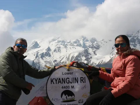
The Langtang Valley Trek 2027 is an incredible trek within the Himalayas in northern Nepal, near the Tibetan border. It is located within Langtang National Park and is around 60-80km’s from Kathmandu. Meanwhile, this Langtang trekking adventure has you hiking through traditional Tamang villages, alpine forests, glacial rivers and stunning Himalayan mountain vistas. You’ll visit Langtang Village, Kyanjin Gompa and enjoy views of Langtang Lirung (7,227m).
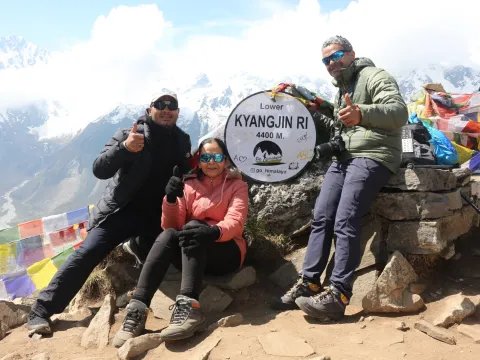
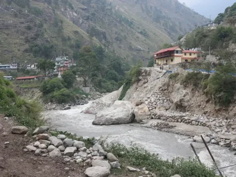
Roads and trails leading to the Langtang region will have been affected by the August flood. However, there are alternatives available, including accessing Dhunche and via the Sundarijal-Gosaikunda trekking route. However please note below that the lower road/trail has been badly damaged and will not be open for use for a long time. However, there is road accessible between Kathmandu, Kalikasthan and Dhunche meaning trekkers are able to access this route. This doesn’t confirm that all trails, bridges and river crossings will be accessible though.
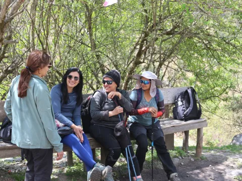
The August 26, 2026 flash flood impacted settlements and transport infrastructure in the Bhote Koshi corridor of Rasuwa. Here, media reports suggest significant damage around Syabrubesi and the Pasang Lhamu Highway, with alternative access toward Dhunche reported via a different road corridor. Here, it is recommended that trekkers do not assume the traditional Kathmandu–Dhunche–Syabrubesi trek route to be fully open, but instead confirm current road access, bridge conditions, trail safety, and availability of accommodation before departure.